
Whenever you open the NSW ePlanning Spatial Viewer, South Australia's SAPPA atlas, or any other state planning map viewer, the interactive interface immediately draws a web of fine lines across the landscape, dividing suburbs into neatly delineated rectangular blocks.
These lines form a cadastral map.
In property development, civil engineering, and construction management, the cadastre is the invisible legal skeleton of the built environment. It establishes where one person's freehold property ends and the next begins.
However, a dangerous misconception persists among many homeowners and novice builders: believing that the property boundary shown on a digital web map or satellite overlay represents legal ground truth.
In reality, building a boundary wall, excavation footing, or retaining wall based solely on a computer screen line can lead to catastrophic encroachment disputes, demolition orders, and Land and Environment Court litigation.
Here is the complete guide to understanding what a cadastral map is, how the Digital Cadastral Database (DCDB) is assembled, and how to verify legal boundaries across Australian state land registries.
Key Takeaways
- The Definition of a Cadastre: A cadastre is an authoritative public register defining the dimensions, legal boundaries, geographic position, and registered ownership of land parcels.
- The Digital Cadastral Database (DCDB): Digital web maps pull from state-maintained DCDB layers (e.g., NSW Spatial Services, Land Services SA, Landgate). The DCDB is a graphical index, not a statutory survey plan.
- The Legal Hierarchy of Boundaries: Registered survey pegs in the ground and official survey plans (Deposited Plans in NSW, Filed Plans in SA) hold primary legal authority. Graphical lines on online viewers carry zero legal standing in boundary disputes.
- Positional Accuracy Varies by State: Published tolerances range from under ±0.2 m in controlled urban areas (NSW) to ±63 m in the worst remaining parts of Queensland. Rural and remote parcels are consistently the least accurate.
- Physical Fences Do Not Equal Title: Existing fences, garden hedges, and retaining walls are frequently erected off-line. Under Australian Torrens title laws, minor fence offsets almost never confer ownership through adverse possession.
What Is a Cadastre?
The word "cadastre" derives from the Greek katastikhon, meaning a notebook or business register. In modern spatial administration, a cadastre comprises two core, interdependent elements:
- The Spatial Dimension: Detailed geographic and geometric descriptions of land parcels (dimensions, bearings, street frontages, coordinate geometry).
- The Legal Dimension: The public record of property ownership, rights, easements, covenants, and restrictions registered against the legal title.
┌────────────────────────────────────────────────────────┐
│             THE MODERN AUSTRALIAN CADASTRE             │
├───────────────────────────┬────────────────────────────┤
│ Spatial Dataset (DCDB)    │ Legal Land Title Registry  │
├───────────────────────────┼────────────────────────────┤
│ - Lot shape and area      │ - Registered proprietor    │
│ - Boundary bearings (deg) │ - Title reference (Vol/Fol)│
│ - Boundary lengths (metres)│ - Registered easements    │
│ - Road reserves & rivers  │ - Mortgages and caveats    │
└───────────────────────────┴────────────────────────────┘
Together, these components underpin the Torrens Title System, the revolutionary land registration framework created in South Australia in 1858 by Sir Robert Torrens and subsequently adopted worldwide. Under Torrens title, registration confers an indefeasible title guaranteed by the state government.
State Title Identifiers: Decoding Lot and Plan Formats
When inspecting a cadastral map, every individual property allotment is identified by a unique alphanumeric legal description rather than an informal street address:
| Jurisdiction | Primary Title Format | Example Legal Description | Land Registry Authority |
|---|---|---|---|
| New South Wales (NSW) | Lot / Deposited Plan (DP) or Strata Plan (SP) | Lot 14 DP 1182390 | NSW Land Registry Services (LRS) / Spatial Services |
| South Australia (SA) | Plan / Parcel (Title Reference: CT Volume/Folio) | Plan D 12345 Allotment 1 (CT 5890/120) | Land Services SA (LSSA) |
| Victoria (VIC) | Lot / Plan of Subdivision (PS) or Lodged Plan (LP) | Lot 3 PS 842109 | Land Use Victoria |
| Queensland (QLD) | Lot / Survey Plan (SP) or Registered Plan (RP) | Lot 52 SP 241908 | Titles Queensland |
| Western Australia (WA) | Lot / Deposited Plan (DP) or Diagram (D) | Lot 101 DP 72401 | Landgate |
Practical Rule: When entering property searches into government portals, always use the legal title description (Lot/DP or Plan/Parcel). Street numbers are administrative postal tags that can lag behind civil subdivision registration by months.
The Legal Hierarchy: Cadastral Map vs Registered Survey Plan
The most critical principle every builder and property developer must understand is the legal hierarchy of land boundaries:
                  THE BOUNDARY LEGAL HIERARCHY

  Level 1 (Highest Legal Authority):
  PHYSICAL SURVEY MARKS & PEGS
  - Placed in the ground by a Registered Cadastral Surveyor

  Level 2 (Statutory Legal Document):
  REGISTERED SURVEY PLAN (Deposited Plan / Plan of Subdivision)
  - Registered with the state titles office with exact bearings & distances

  Level 3 (Informational Reference Only):
  DIGITAL CADASTRAL DATABASE (DCDB) / SPATIAL VIEWER MAP
  - Continuous graphical mosaic; subject to positional digitizing tolerances
Why Digital Cadastral Maps Have Inaccuracies
The Digital Cadastral Database (DCDB) displayed on platforms like the NSW Spatial Viewer or Google Maps is created by stitching together millions of historical survey plans into a seamless digital mosaic.
Because many older plans were surveyed in the 19th or early 20th century using imperial chains and links, and because survey dimensions were often not transferred during digitisation, spatial data agencies must mathematically adjust and "fit" adjacent parcels together. The published tolerances vary widely by jurisdiction and by how urbanised the area is:
| Jurisdiction | Custodian | Stated positional accuracy |
|---|---|---|
| NSW | DCS Spatial Services (DCDB Cadastral Fabric) | Under 5 m rural, under 0.2 m urban, depending on available survey control |
| SA | Land Services SA (Parcel Cadastre) | Boundary-corner accuracy code 0–7, lower being more accurate |
| QLD | Department of Resources (DCDB) | Initially ±1 m to ±250 m; worst current accuracy ±63 m |
| VIC | Vicmap Property | 0.1 m to 25 m, captured at 1:500 to 1:25,000 |
| WA | Landgate (Spatial Cadastral Database) | ~91% of points within ±0.25 m urban, ±2 m rural |
The Warning: If you look at an online aerial photograph and notice that the red or yellow cadastral line cuts through a neighbour's garage or sits 400 mm inside a fence line, do not assume the building encroaches on the land. More often than not, the digital line is slightly unaligned with the underlying satellite photography.
Physical Fences vs Cadastral Boundaries
One of the most frequent sources of neighborhood litigation involves the misalignment between physical boundary fences and cadastral boundaries.
┌────────────────────────────────────────────────────────┐
│             THE COMMON FENCE LINE DISPUTE              │
├────────────────────────────────────────────────────────┤
│                                                        │
│   Legal Title Line:   │ ◄─── True Cadastral Boundary   │
│                       │                                │
│   Physical Fence:        /  ◄─── 300 mm Off-Line Fence │
│                         /        (Erected 15 years ago)│
│                        /                               │
│                                                        │
└────────────────────────────────────────────────────────┘
The Adverse Possession Myth (Squatter's Rights)
A widespread myth in Australian property circles is that if an existing fence has stood in the wrong location for 12 or 15 years, the adjacent owner automatically owns the encroached strip of land through "adverse possession."
In Australia, this is almost entirely false for urban residential property:
- Torrens Title Protection: The foundational principle of Torrens title is the indefeasibility of the registered title. In South Australia, adverse possession against Torrens title land is barred by s 251 of the Real Property Act 1886, which provides that no title can be acquired by any length of adverse possession except through the narrow Part 7A pathway — and a registered proprietor can defeat such an application by lodging a caveat.
- NSW Whole-Parcel Rule: In New South Wales, under Part 6A of the Real Property Act 1900, s 45D(1) requires the land to be a whole parcel of land. A part-parcel application is permitted only where the occupant's boundary is an occupational boundary that represents or replaces a boundary of the whole parcel — so a strip between a fence line and the true boundary is excluded.
Resolving Boundary Encroachments
If a permanent building, garage, or retaining wall is discovered to cross a legal cadastral boundary:
- In NSW, disputes are resolved under the Encroachment of Buildings Act 1922, which lets either the adjacent owner or the encroaching owner apply to the Land and Environment Court for relief. The Court can order compensation, grant an easement, or order the removal of the encroaching structure.
- In SA, similar powers exist under the Encroachments Act 1944.
Builder Due Diligence: When to Commission an Identification Survey
Professional residential and commercial builders follow one golden rule: never pour concrete footings or erect structural walls based on a digital map or an existing fence line.
Before commencing construction:
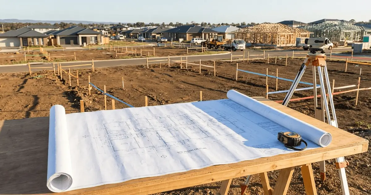
- Commission a Boundary Identification Survey: Engage a licensed/registered cadastral surveyor to perform an on-site survey. The surveyor locates original survey reference marks in the street kerb, re-establishes the true legal corners of the block, and drives physical wooden pegs into the ground.
- Request an Identification Report: The surveyor provides a signed sketch certifying the exact location of existing buildings and fences relative to the registered boundaries.
- Cross-Check Statutory Planning Controls: Once true boundaries and frontage measurements are established, cross-reference the site area against mapped Floor Space Ratio and Minimum Lot Size to ensure full compliance.
- Attach Statutory Certificates: Prior to contract exchange, always verify the legal title against the formal council Section 10.7 Planning Certificate.
Frequently Asked Questions (FAQ)
What is the difference between a cadastral map and a topographic map?
A cadastral map focuses strictly on legal land administration, illustrating property boundaries, lot dimensions, parcel numbers, easements, and road reserves. A topographic map illustrates the natural and built physical terrain, displaying contour lines (elevation changes), rivers, vegetation, mountains, and infrastructure.
Can I use the boundary line on Google Maps or the NSW Spatial Viewer to build a boundary fence?
No. Web mapping platforms and spatial viewers display illustrative representations of the Digital Cadastral Database (DCDB) draped over aerial photography. These overlays carry graphical alignment errors that in urban areas can reach several hundred millimetres, and in rural areas several metres. Fences and permanent structures must always be set out based on physical survey pegs placed by a registered cadastral surveyor.
What is the Digital Cadastral Database (DCDB)?
The Digital Cadastral Database (DCDB) is the official computerized spatial database maintained by state land administration agencies (such as NSW Spatial Services and Land Services SA). It records a continuous digital map of every registered land parcel across the state, forming the foundation data layer for municipal GIS, emergency services, and planning portals.
Can my neighbour claim my land if our boundary fence has been in the wrong spot for 20 years?
Under Australian Torrens title laws, almost certainly not. In South Australia, adverse possession against Torrens title land is barred by s 251 of the Real Property Act 1886 except through the narrow Part 7A pathway, and a registered proprietor can defeat an application by lodging a caveat. In New South Wales, s 45D(1) of the Real Property Act 1900 requires the land to be a whole parcel, and s 45D(2) permits a part-parcel claim only where the fence or wall is an occupational boundary representing a boundary of that whole parcel. The displaced owner can request that the fence be moved back to the true legal boundary.
How much does a licensed boundary identification survey cost in Australia?
There is no fixed fee, and quotes vary significantly by state, terrain and site conditions. As an indicative guide, a full residential boundary identification survey for a standard suburban allotment commonly falls in the range of roughly $2,000 to $4,000+ excluding GST, with a survey to mark a single boundary at the lower end. The main cost drivers are the availability of historical survey reference marks in the street or kerb, site vegetation and access, and the complexity of re-establishing the original boundaries. Always obtain quotes from surveyors registered on your state's register of surveyors.