
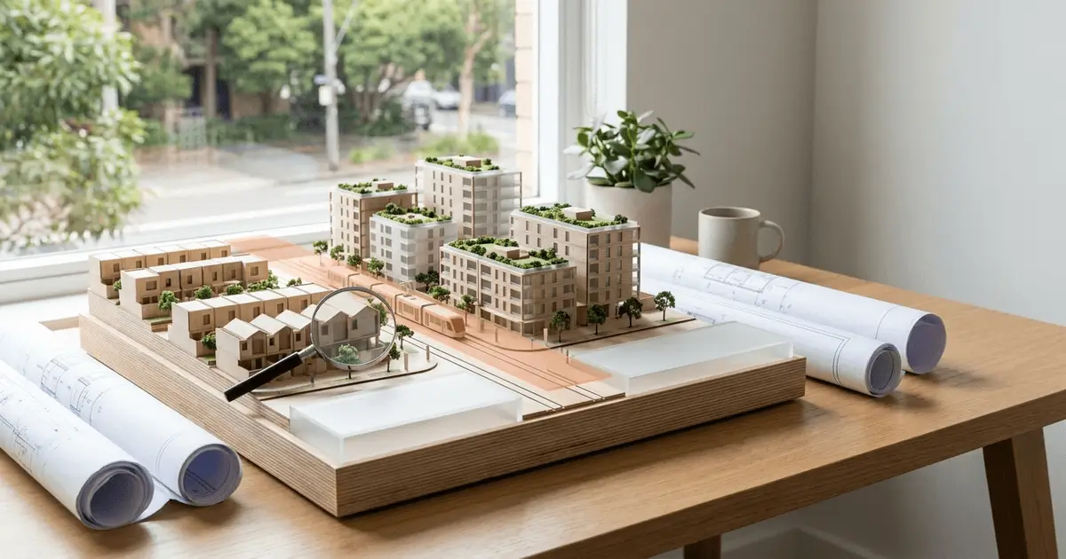
A NSW site falls inside a Low and Mid-Rise Housing (LMR) area only when three tests line up. The land must be in an eligible residential zone, it must sit within 800 metres walking distance of one of 171 nominated town centres or stations, and it must be free of the exclusions in Chapter 6 of the State Environmental Planning Policy (Housing) 2021.
Inside that area, the mid-rise standard is a maximum height of 22 metres for residential flat buildings in the R3 and R4 zones, with a floor space ratio of up to 2.2:1 in the inner 400 metre band (NSW Department of Planning, Housing and Infrastructure).
That standard does not apply in R2. It also does not apply in E1 or any other employment zone. The Department removed employment zones from the policy so that centres keep their business and service role.
This guide works through the tests in the order that matters: zone first, walking distance second, exclusions third.
Key Takeaways
- Eligibility test: residential zoned land within 800 metres walking distance of a nominated town centre, or a nominated train, metro or light rail station, across 171 nominated locations.
- Mid-rise inner area, 0 to 400 metres: R3 and R4 only. Maximum 22 metres for residential flat buildings, 24 metres for shop-top housing, floor space ratio 2.2:1, six storeys maximum.
- Mid-rise outer area, 400 to 800 metres: maximum 17.5 metres, floor space ratio 1.5:1, four storeys maximum, in R3 and R4.
- Low-rise uplift: dual occupancies up to 9.5 metres and 0.65:1; terraces and multi-dwelling housing up to 9.5 metres and 0.7:1, in R1 to R4 where the use is permitted.
- Exclusions still bite: bush fire prone land, high risk flood land, land that is or contains a heritage item, Transport Oriented Development areas, and four whole local government areas. Heritage conservation areas are not excluded as a category.
- Commencement: Stage 1 began on 1 July 2024 and Stage 2 began on 28 February 2025.
What Changed, and When
The LMR policy is Chapter 6 of the Housing SEPP, and it arrived in two stages.
| Stage | Commenced | What it changed | Where it applies |
|---|---|---|---|
| Stage 1 | 1 July 2024 | Dual occupancies and semi-detached dwellings permitted with consent in the R2 Low Density Residential zone | All of NSW, subject to the Chapter 6 exclusions |
| Stage 2 | 28 February 2025 | Dual occupancies, multi-dwelling housing (terraces and townhouses), residential flat buildings and shop-top housing, with new non-discretionary development standards | Low and mid-rise housing areas in Greater Sydney, the Central Coast, Illawarra-Shoalhaven and the Lower Hunter and Newcastle |
Stage 2 covers 171 nominated town centres and train, metro and light rail stations. It is expected to deliver up to 112,000 homes across NSW over five years (Low and Mid-Rise Housing Policy). Stage 2 does not reach the whole state. It applies in the four regions named above, and the Bathurst Regional, Blue Mountains, Hawkesbury and Wollondilly local government areas are excluded outright (Low and Mid-Rise Housing Policy FAQ).
One point trips up a lot of feasibility models. The non-discretionary standards are not a ceiling. Where the council's local environmental plan (LEP) or development control plan (DCP) is more generous, the more generous control applies. Where the SEPP standard is the more generous one, a consent authority cannot refuse an application just because it exceeds the LEP or DCP figure.
Low-Rise Standards in R2, R3 and R4
Dual occupancies are permitted with consent in R2 zones across NSW, subject to the Chapter 6 exclusions. Terraces, townhouses and other multi-dwelling housing are permitted with consent in R2 zones inside an LMR area.
| Housing type | Zones where the standards apply | Minimum lot size | Minimum lot width | Maximum FSR | Maximum height |
|---|---|---|---|---|---|
| Dual occupancy and semi-detached dwelling | R1, R2, R3, R4 | 450 m² | 12 m | 0.65:1 | 9.5 m |
| Multi-dwelling housing | R1, R2, R3, R4 | 600 m² | 12 m | 0.7:1 | 9.5 m |
| Multi-dwelling housing (terraces) | R1, R2, R3, R4 | 500 m² | 18 m | 0.7:1 | 9.5 m |
| Residential flat building and shop-top housing | R1, R2 | 500 m² | 12 m | 0.8:1 | 9.5 m |
Those figures are the non-discretionary standards in the Housing SEPP (Summary of key provisions).
Subdivision has its own standards, and they apply only in R1, R2 and R3. A dual occupancy lot must be at least 225 m² and 6 metres wide. A terrace lot must be at least 165 m² and 6 metres wide. Neither provision applies to strata subdivision.
Parking is set at one space per dwelling for dual occupancies and multi-dwelling housing. Terraces and residential flat buildings in R1 and R2 require 0.5 spaces per dwelling. That minimum applies only where another instrument does not already cap parking.
If a proposal meets the Low-Rise Housing Diversity Code, a dual occupancy, manor house or terrace can often be approved as complying development rather than by a full merit assessment. Check the standards in our complying development eligibility guide before you commit to that pathway.
Mid-Rise Standards in R3 and R4
The six storey mid-rise uplift applies to land in the R3 Medium Density Residential and R4 High Density Residential zones. It does not apply in R2, and it does not apply in the employment zones.
| LMR area band | Zones | Residential flat building height | Shop-top housing height | Maximum FSR | Maximum storeys |
|---|---|---|---|---|---|
| Inner area, 0 to 400 m | R3, R4 | 22 m | 24 m | 2.2:1 | 6 |
| Outer area, 400 to 800 m | R3, R4 | 17.5 m | 17.5 m | 1.5:1 | 4 |
Those figures come from sections 175, 176 and 180 of the State Environmental Planning Policy (Housing) 2021, as set out in the Department's summary of key provisions. The guidance for industry states the same standard in plain terms: in low and mid-rise housing areas, the policy sets a non-discretionary maximum height of 22 metres for residential flat buildings in R3 and R4 zones.
Two more details matter. No minimum lot size or lot width applies to a residential flat building or shop-top housing in R3 and R4 once the site meets the inner or outer standard. Where a site is partly in the inner area, the inner standards apply to the whole site area.
If a summary you are reading quotes 21 metres or a 3.0:1 floor space ratio for this uplift, check it against the current Chapter 6 standards, which are 22 metres and 2.2:1.
Why E1 and Other Employment Zones Are Not Included
The policy deliberately excludes employment zones. The Department's summary of the reform lists "removing employment zones from the policy to support the ongoing role of centres as places for business and accessing services" as a key change.
The practical effect is simple. A site in E1 Local Centre, E2 Commercial Centre, MU1 Mixed Use or SP5 Metropolitan Centre is not covered by the Chapter 6 non-discretionary standards. The council's LEP and DCP continue to set the height and floor space ratio. Talk to the council before you model a yield on an E1 site.
How to Check a Site on the Low and Mid-Rise Housing Map
Work through three checks in order: confirm the zone, measure the walking distance, then screen the exclusions. A site must pass all three.
Step 1: Confirm the zone and the instrument
Open the NSW Planning Portal Spatial Viewer and read two things. First, the base zone. The Chapter 6 standards only engage in R1, R2, R3 and R4. Second, the Housing SEPP layer, which shows the mapped town centres.
The nominated stations are listed in Schedule 11 of the Housing SEPP. Our NSW Planning Portal Spatial Viewer guide explains how to add those layers, and how to check zoning in NSW covers the zoning read itself.
Step 2: Measure the 800 metre walking distance
Distance is measured from the site to the nearest edge of the mapped town centre, or to the entrance of a nominated station. It runs along a route that a pedestrian can safely walk, using public footpaths and pedestrian crossings.
That is not a radius. A freeway, a river or an unfenced rail corridor can push a site outside the catchment even when the straight line distance looks short. The Department publishes an indicative map of the low and mid-rise housing areas to show the catchments, but the map is not legislative. The legislation decides.
Three practical rules follow:
- The inner area runs from 0 to 400 metres and the outer area runs from 400 to 800 metres, both measured along the walking route.
- If part of a site area falls in the inner area, the inner standards apply to the entire site area.
- If part of a site area falls in the outer area, the outer standards apply to the entire site area, unless the site is also in the inner area.
Step 3: Screen the exclusions
Before you spend money on a survey, check the site against the exclusion list below. Land that is or contains a heritage item is excluded. Land in a Transport Oriented Development area is excluded. Bush fire prone land is excluded.
What the Policy Does Not Cover
Chapter 6 does not apply to certain land at all. Where an exclusion applies, the ordinary council controls govern the site and the LMR uplift is unavailable.
| Excluded land | Notes |
|---|---|
| Bush fire prone land | The whole category is excluded, not only the highest BAL ratings |
| High risk flood land | Includes probable maximum flood land in the Hawkesbury-Nepean, and flood planning areas in listed LGAs |
| Coastal wetlands, littoral rainforest and coastal vulnerability areas | Mapped under the Resilience and Hazards SEPP |
| Land that is, or contains, a heritage item | The item itself is excluded |
| Land within 200 metres of a relevant dangerous goods pipeline | Measured from the pipeline |
| Land with high aircraft noise | ANEF contour of 25 or greater, or ANEC contour of 20 or greater |
| Transport Oriented Development areas | The policy does not apply in current or future identified TOD areas |
| Bathurst Regional, Blue Mountains, Hawkesbury and Wollondilly | Whole local government areas excluded |
Heritage Items and Heritage Conservation Areas
These are two different tests, and the difference matters for feasibility.
Land that is a heritage item, or land on which a heritage item is located, is excluded from the policy. Land inside a heritage conservation area is not excluded on that basis alone. The official exclusion list names heritage items and is silent on conservation areas. The Department has also confirmed that no equivalent exclusion applies simply because land sits within a heritage conservation area.
That does not switch heritage off. A proposal in a conservation area still needs to address heritage impact, streetscape character, built form and the relevant DCP controls. For a site level check of the overlays, use our guide to bushfire, flood and heritage maps on the NSW Spatial Viewer.
Approval Pathway and Design Rules
Most developments under the policy stay with the local council. The Department's FAQ is direct on this point: most developments where the policy applies continue to be local development applications assessed by the relevant council.
Complying development for dual occupancies and terraces
The Low-Rise Housing Diversity Code allows well designed dual occupancies, manor houses and terraces to be carried out as complying development, provided the use is permitted with consent under an LEP or SEPP. Because the LMR policy makes those uses permitted with consent in more places, the complying development pathway is now open in areas where it was previously unavailable.
Design rules for apartment buildings
Residential apartment development is assessed against Chapter 4 of the Housing SEPP and the Apartment Design Guide. Consent authorities must also consider the Tree Canopy Guide for Low and Mid Rise Housing, which covers tree canopy, deep soil and tree planting rates.
Affordable housing bonuses
The in-fill affordable housing provisions still apply on top of the LMR standards. A development that dedicates at least 10 per cent of its dwellings to affordable housing can access built form bonuses of up to 30 per cent. That bonus can lift the effective height and floor space beyond the figures in the tables above.
The non-discretionary standards remove one ground of refusal only. A council can still refuse or condition a proposal on design, privacy, overshadowing, stormwater, tree retention or heritage grounds.
What the Market Has Learned Since Commencement
Early evidence is mixed, and it separates planning eligibility from commercial feasibility.
The Urban Development Institute of Australia (NSW) tested building envelopes on real sites in Mosman, Double Bay, Rose Bay, Gordon and Fairy Meadow. Its January 2026 review found that reaching the full permitted floor space ratio was often possible only on sites with favourable orientation, generous frontages or a flexible approach to design controls. Its broader assessment was that most locations outside premium suburbs remain marginal or unviable (UDIA NSW, Maximising the Mid-Rise Housing Policy).
The same review found the strongest site due diligence signals in higher value markets, measured through title search activity. Rose Bay recorded a 29 per cent increase, Miranda 26 per cent and Gosford 16 per cent. A significant share of centres saw no increase, or only minimal increases of 2 per cent or less, and outside the top 15 of the 171 areas no centre recorded growth above 8 per cent.
Approval activity is real but modest. In June 2026, the Minister for Planning said the policy had attracted more than 660 development applications with the potential to deliver about 10,000 homes, and that the government was not considering exemptions (Wentworth Courier, LMR: Saviour or 'farce'?). The same report noted that only three projects had been approved under LMR in Woollahra at that point, and that the Woollahra and Mosman mayors had both criticised the settings.
For a developer, the takeaway is narrow but useful. A positive LMR map check tells you the planning envelope. It does not tell you the site works.
Frequently Asked Questions
Does the mid-rise uplift apply to E1 Local Centre zones?
No. The Chapter 6 non-discretionary standards for residential flat buildings and shop-top housing apply in R1, R2, R3 and R4. Employment zones including E1, E2, MU1 and SP5 were removed from the policy, so the council's LEP and DCP continue to set height and floor space there.
Which zones get the 22 metre height limit?
The R3 Medium Density Residential and R4 High Density Residential zones, in the inner area within 400 metres walking distance of a nominated centre or station. In the outer area between 400 and 800 metres, the maximum height for a residential flat building is 17.5 metres.
Can a council refuse an application that meets the LMR standard?
Not on the ground that it breaches the equivalent LEP or DCP standard. If a proposal complies with the non-discretionary standard, and that standard is the more generous of the two, a consent authority cannot refuse on that basis. A council can still refuse or condition on other grounds, including design quality, amenity, stormwater, tree retention and heritage.
Does the policy apply inside a heritage conservation area?
It can. Land that is a heritage item, or that contains one, is excluded from Chapter 6. A heritage conservation area is not an exclusion category on its own. A site inside a conservation area can still qualify for the LMR standards, but the design will be assessed against the council's heritage and character controls.
When did the Low and Mid-Rise Housing Policy start?
Stage 1 started on 1 July 2024 and permitted dual occupancies and semi-detached homes in R2 zones across NSW. Stage 2 started on 28 February 2025 and introduced the LMR area maps, the wider permissibility changes and the non-discretionary height and floor space standards.
Can a dual occupancy under LMR be built as complying development?
Yes, in many cases. The Low-Rise Housing Diversity Code allows dual occupancies, manor houses and terraces to be complying development when they meet its standards and the use is permitted with consent. Check the site against both the SEPP standards and the Low-Rise Housing Diversity Code before choosing that route.
Is the 800 metre catchment a radius?
No. Walking distance is the shortest distance a pedestrian can safely walk using public footpaths and pedestrian crossings. Barriers such as rivers, freeways and rail corridors can exclude a site that looks close on a map. The indicative map is a screening tool, not a determination.
Check the Map Before You Commit
Run the three checks in this order, and record the answer for each one.
- Zone, read from the NSW Planning Portal Spatial Viewer.
- Walking distance, measured to the nearest town centre edge or station entrance, then split into the 0 to 400 metre inner band or the 400 to 800 metre outer band.
- Exclusions, screened against Chapter 6 and the Transport Oriented Development mapping.
Then test the standards that apply to your typology. A dual occupancy site is measured against 450 m², 12 metres of frontage, 0.65:1 and 9.5 metres. A mid-rise site in R3 or R4 is measured against 22 metres and 2.2:1 in the inner area, or 17.5 metres and 1.5:1 in the outer area.
If the site passes the planning test, the next question is the design and the lot. Our guide to floor space ratio, height limits and minimum lot size in NSW sets out how those controls combine, and the dual occupancy site check covers the R2 pathway in detail.